Instadrabbling Sessions for April, May, and June
The first Saturday of each month, we will be hosting instadrabbling on our Discord server.
SWG News
Fanwork sign-ups are open!
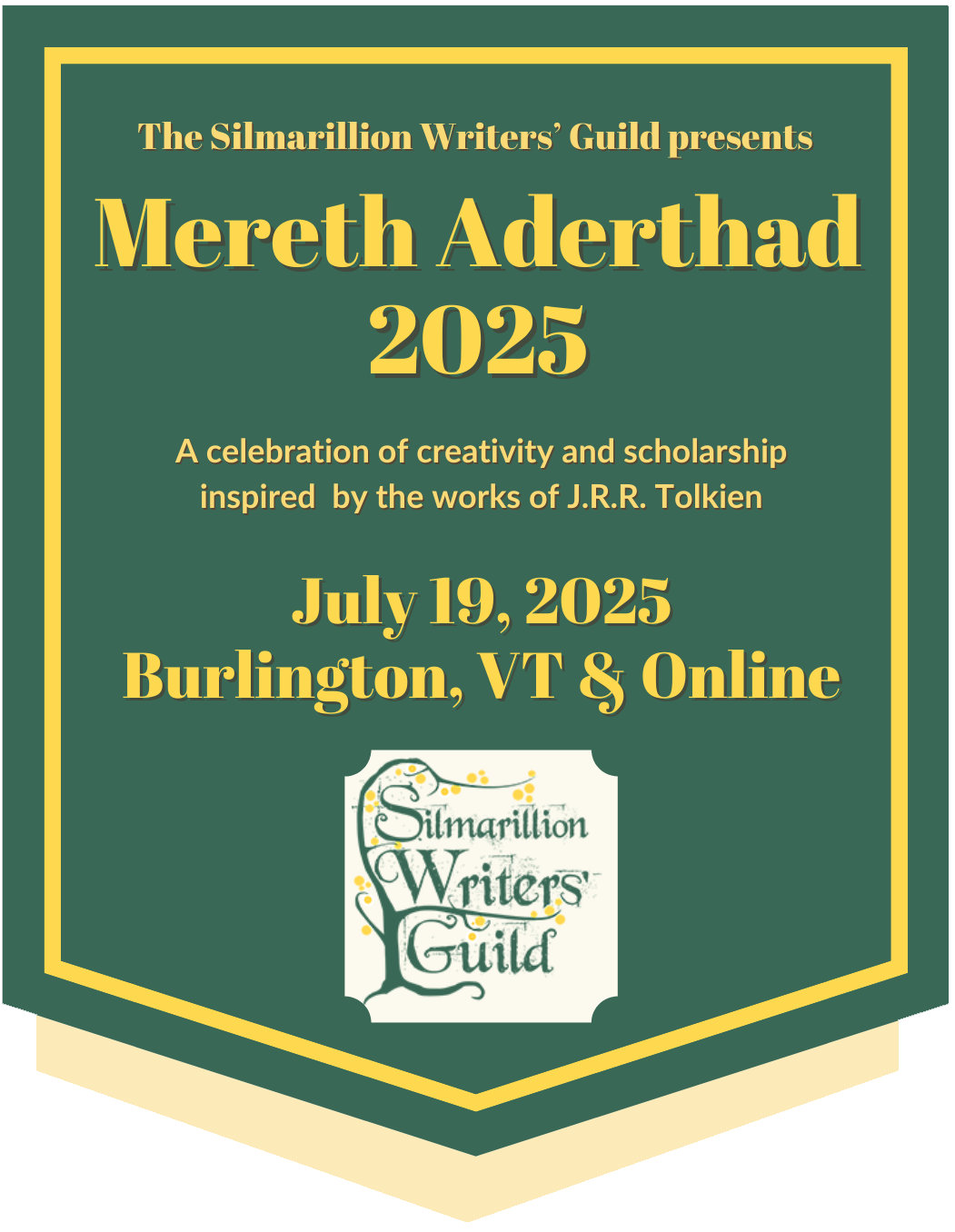
Register for Mereth Aderthad!
Mereth Aderthad Interview: Interview with polutropos by Dawn
"And love grew after between them"—those words have fascinated a fandom intent on revealing the how and why of the "kidnap fam" plot point in "The Silmarillion." In this interview, polutropos discusses her upcoming Mereth Aderthad paper on the topic, “'Kidnap Fam' and the Living Legendarium."
Mereth Aderthad Interview: Interview with Maglor by Shadow
Who is Gil-galad? That might seem a silly question, but we know very little of his character beyond his kingship. In this interview, Shadow talks with Maglor about his upcoming Mereth Aderthad presentation "Gil-galad was an Elven King: Kingship and Personhood in the Last High King of the Noldor" that explores who Gil-galad might have been, beyond the last king of the Noldor.
Mereth Aderthad Registration Is Open!
Registration for attending Mereth Aderthad is open for both in-person and virtual attendees and will remain open through the day of the event.
New & Updated Fanworks
[Writing] That strength which in old days moved earth and heaven by Himring
Long after the Fall of Eregion, a survivor returns to face her memories.
[Reference] Interview with cloudyhymns by Shadow by cloudyhymns, daughterofshadows
Shadow spoke with cloudyhymns about his upcoming presentation for Mereth Aderthad 2025, "The Design of Dragons and the Doom of the Dwarves," where he shares his theory about how Dwarves and dragons are connected in the legendarium, a topic full of implications for fanworks.
[Audio] Twinkle, Twinkle, Silmaril - Podfic by daughterofshadows
A reworking of Twinkle, twinkle, little star, featuring Eärendil. Originally written by Anérea.
[Writing] High in the Clean Blue Air by StarSpray
They passed out of Lhûn and the wider coastline of Middle-earth opened up before his eyes. He had wandered those shores for centuries, and even now he felt the pull of that same wanderlust, and knew he would miss them for the rest of his life. Their wildness, the untamed waves, the rocky…
[Writing] The Longed For That Cometh Beyond Hope by Grundy
Eärendil has to find his way in this unfamiliar land. Luckily (or unluckily, depending on your point of view) for him, it's a time of festival in Valimar...
[Reference] Interview with polutropos by Dawn by polutropos, Dawn Felagund
Dawn spoke with polutropos about her upcoming presentation for Mereth Aderthad, “'Kidnap Fam' and the Living Legendarium," including the appeal of kidnap fam, the appeal of Maglor's character, and how The Silmarillion as an incomplete, complex word makes it ripe for both fanworks and…
Current Challenge
Birthday Bash
Daily word, image, and poetry prompts are loosely structured around events and milestones leading up to our 20th birthday. Read more ...
Random Challenge
Inspiration
Your characters inspire you--but what inspires them? Consider what inspires your characters to act and create. Read more ...
New in References
Interview with cloudyhymns by Shadow by cloudyhymns, daughterofshadows
Shadow spoke with cloudyhymns about his upcoming presentation for Mereth Aderthad 2025, "The Design of Dragons and the Doom of the Dwarves," where he shares his theory about how Dwarves and dragons are connected in the legendarium, a topic full of implications for fanworks.
Interview with polutropos by Dawn by polutropos, Dawn Felagund
Dawn spoke with polutropos about her upcoming presentation for Mereth Aderthad, “'Kidnap Fam' and the Living Legendarium," including the appeal of kidnap fam, the appeal of Maglor's character, and how The Silmarillion as an incomplete, complex word makes it ripe for both fanworks and scholarship.
Maglor by polutropos
As one of the most beloved Silmarillion characters, Maglor is a bundle of contradictions undergirded by a complex textual history. Warrior, musician, wanderer, and survivor, Maglor brings to the fore key themes in Tolkien's early legendarium, such as the role of music, oaths, and exile.
Featured Themed Collection
Part of our Themed Collection series for our newsletter, this collection features fiction, artwork, and essays that transcend the idea of Orcs as the enemy, instead considering their humanity.
Alliterative Verse for Arda by Rhunedhel
Part of our Themed Collection series for our newsletter, this collection features alliterative poems about Middle-earth.
Beyond the Silmarillion
[Writing] Paradox of the Fourth Age by Alassante
One wrong decision can make a world of difference. When one of the Fellowship makes the mistake, the consequences are so severe that only the Valar can repair it. But will they?
Glorfindel daughter's life is in Elrohir's hands and only she remembers th eir love for each other. The fate of…
[Writing] By Mirrormere by bunn
A new Age dawns, and Moria is retaken at last.
[Writing] Beneath the Bitter Rain by bunn
The Gardens of the Entwives are fallen, but two Entwives remain.
Around the World and Web
April Challenge at tolkienshortfanworks
The tolkienshortfanworks challenge for April has been posted to the Dreamwidth community. The thematic prompt is: wood. The formal challenge is: linnod (Gilraen's canonical verse form). These can be filled separately and freely combined with other challenges and prompts that allow this.
Celedriel Week 2025
Celedriel Week is a Tumblr events for fanworks about Galadriel and Celeborn.
Neurodivergent Arda Week 2025
Neurodivergent Arda Week is a Tumblr event to celebrate neurodiversity in Tolkien's works.
Tolkien Ekphrasis Week 2025
This is a Tolkien-fandom-wide event dedicated to the art of ekphrasis in Tolkien's worlds. Its goal is to illuminate the artistic surroundings of the places, people, and stories we love, in as many media as possible.
Teitho March/April Challenge: Mothers
The Teitho Contest theme for the months of March and April is mothers.
An Examination of Thingol as King by Grundy
| | |
Notes regarding the first map
I used Christopher Tolkien’s Map of Beleriand and the Lands to the North (The Silmarillion, end piece in my edition; link is to a colorized version) and colored the approximate areas of control of both the Sindar and the Noldor. I used descriptions in the published Silmarillion as well as Christopher Tolkien’s The Realms of the Noldo and the Sindar map.
.jpg)
The bounds of the kingdoms of Fingolfin and his sons are fairly clear with the exception of uncertainty over where Fingon’s responsibility ended and Finrod/Orodreth’s began east of the Ered Wethrin – Eithel Sirion is said to be Fingon’s stronghold, and he kept watch on Ard-Galen, but the Vale of Sirion is attributed to Finrod, and later given over to Orodreth when Finrod moves to Nargothrond. I construed Finrod’s area to extend as far north as the Fens of Serech, since Finrod and his forces are nearly trapped in that area in the Dagor Bragollach. (As the battle was so sudden, I thought it unlikely that Finrod had time to march beyond his own lands.)
The house of Finarfin held the Vale of Sirion (first Finrod, later Orodreth) and Dorthonion, with Aegnor and Angrod’s domain said to extend to the northern slopes of Dorthonion, allowing them to also keep watch on Ard-Galen. The Realm of Nargothrond is stated to extend from the Nenning to the Sirion, with both the Talath Dirnen and Taur-en-Faroth included. However, nothing is said about its northern or southern borders, and both maps and text clearly indicate Doriath extends to the woods on the west side of the Sirion. I estimated the northern border by reasoning that Tumhalad should be within the Realm of Nargothrond, but it should be noted that Finrod’s realm could have extended all the way north to the mountains. In the south neither the Falls of Sirion nor Nan Tathren were said to be part of it, so the hills around the Narog, with some allowance for patrolling beyond them, seemed like a natural boundary.
The realms of the sons of Fëanor lack well-defined borders, but they are for the most part clearly located, with Maedhros taking the most dangerous northern position, Maglor in the gap behind him, Celegorm and Curufin at Himlad, and Caranthir furthest east in Thargelion, with his headquarters near Lake Helevorn. Thargelion is the most well defined realm, with all four borders given – Gelion, Rerir, Ascar, and the Ered Luin. The biggest question for the elder sons’ lands is where the southern border of Himlad was considered to be.
The chapter “Of Beleriand and Its Realms” says that Celegorm and Curufin held the land of Himlad southward between the River Aros that rose in Dorthonion and his tributary Celon that came from Himring. However, if Maedhros were intent on minimizing friction between his brothers and other princes and lords – as seems likely from Caranthir being placed furthest to the east – it would make sense that he would also wish to minimize possible interactions between Celegorm (also noted for a hasty temper) and Thingol. For this reason, I have placed Himlad’s southern border at the bend of the Aros rather than further south.
Amrod and Amras, on the other hand, are said to have their lands in East Beleriand. Per the text, their lands included Estolad, on the east banks of the Celon south of Nan Elmoth. Yet they are shown further to the southeast on The Realms of the Noldor and the Sindar, roughly at a latitude with Caranthir’s southern border. It seems logical that their northern borders would march with their older brothers’ southern borders, and their natural eastern border would be Gelion. Since Nan Elmoth is Sindarin territory held by a vassal of Thingol, but lacking a clearly defined border such as a river, it seems logical to leave some space between it and Noldorin lands to avoid potential misunderstandings or border disputes. However, that still leaves Amrod and Amras’ western and southern borders an open question. Their territory could potentially have extended westward all the way to the Aelin-Uial and south of the Andram. However, it seems unlikely that was the case. First, Finrod was stated to have the greatest realm by far, so unless I have significantly underestimated the Realm of Nargothrond, the twins could not have held the entire area between the Aros and Gelion as far west as the Aelin-Uial. It also seems unlikely that sharing a long border with Thingol would have been any more desirable in the twins’ case than it would be for Celegorm and Curufin. (Recall that Thingol knew the sons of Fëanor were directly involved in the Kinslaying fairly early in the history of the Noldor in Beleriand.) In the south, the Andram seems like a natural border – without a pressing need to hold territory south of it, keeping in contact with parts of their realm south of the Andram is unlikely to be worth the effort of maintaining roads, passes, etc. No attack is expected from the southern direction, and a southern watch could easily be kept from the Andram itself. Since the Caranthir and the twins retreated to Amon Ereb after the Dagor Bragollach, it seems likely they had some prior familiarity with it, but it can’t be established with certainty that it fell within Amrod and Amras’ territory. Due to the overall uncertainty about extent of the twins’ lands, I have colored their possible territory in a lighter shade than the rest of the Fëanorion lands.
Doriath, Brethil, and Nan Elmoth are all clearly attested Sindarin areas, as are the Falas. The Aelin-Uial is said to have been under the control of Doriath. However, it is unclear how far beyond Brithombar and Eglarest Círdan’s land extended. In the text of the Silmarillion, no indication is given about Círdan controlling territories beyond the two ports, however Map of Beleriand and the Lands to the North marks a significantly larger area than just Brithombar and Eglarest as ‘Falas’. (Finrod is said to have constructed Barad Nimras on the cape west of Eglarest although the area is shown to be Círdan’s on both maps, but Finrod is also known to have helped in rebuilding Eglarest and Brithombar so that should not be construed as having territorial implications.)
![]()
![]()